OnTerra Systems today announced that its MapSavvy WMS now has Google Maps layers, along with…
MapSavvy Helps Wildlife Researchers Protect Endangered Species
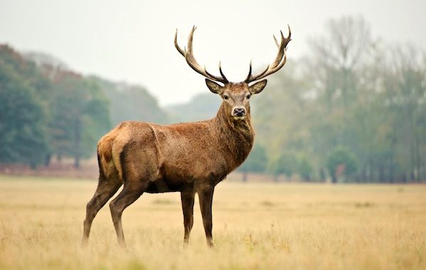
Affordable web mapping services like MapSavvy are being used by scientists and researchers for a wide variety of research and wildlife management activities. Wildlife management comes in many forms, and as a result, aerial imagery is being used with increasing frequency to help protect and preserve wild creatures. The flexibility of aerial imagery that can be obtained through MapSavvy allows scientists and researchers to gain new insights about wildlife, and then use that information to both manage and protect wildlife in general, as well as endangered species.
How Does MapSavvy Help Wildlife Management?
Aerial imagery from MapSavvy can be used in wildlife management in many different ways. Here are some examples:
Forest Fire Analysis – Forest fires pose a threat to wildlife as well as people and structures. When endangered species live in an area prone to wild fires, wildlife management experts can use aerial imagery to assess the type of land, burnable material, and geographic details of the land to determine the likelihood of a forest fire occurring in specific areas. This can help with planning for how to protect endangered species.
Planning & Creation of Wildlife “Corridors” – When wildlife comes into contact with “civilization” in the form of roads, bridges, residential areas, and commercial zones, the wildlife often come out on the short end of the stick. Another way that MapSavvy’s aerial images are use in wildlife management is to assess areas where wildlife corridors can be created, allowing wildlife to safely migrate without having to cross dangerous highways or other hazards. Wildlife management experts can use the mapping data to determine where to place fences or other barriers to help reduce accidents where vehicles hit wildlife, as well as where to build actual corridors that allow wildlife to safely migrate.
Public Engagement Related to Conservation Planning – When wildlife management officials are working on programs to protect endangered species, there’s often a public engagement component. When the public is involved, it’s critically important to provide maps and images to explain the proposed actions. Web mapping services like MapSavvy can provide those images at an affordable cost and help build the public support needed for proposed wildlife management plans.
Habitat Planning – When dealing with preserving and increasing endangered species, wildlife biologists & researchers often are involved in determining if the current population of animals has enough habitat for the population to expand, and still have enough food and water. Aerial imagery maps provide important insights that can be used in planning for habitat for a particular species.
Why is MapSavvy a Great Option for Wildlife Management Functions?
The bottom line is that research on wildlife, habitat, and endangered species often comes on a shoe-string. Researchers are being pressed to do more with less, and research grants are not always easy to obtain.
Given this, aerial imagery services like MapSavvy are popular because they provide the high-quality imagery needed for strategic & thoughtful planning and program development, and at roughly half the cost of many other aerial imagery services.
Where many other aerial imagery services cost thousands of dollars as a starting point, MapSavvy costs just $500 a year. This allows most any research program to use MapSavvy to enhance their understanding of what they’re studying with a nominal investment.
MapSavvy is an affordable, effective tool that can be used by wildlife management officials and researchers to plan habitat, develop effective conservation programs, and more!
Interested in learning more about how MapSavvy can be used in wildlife management? Visit: www.MapSavvy.com, or try our Free, 14-day trial.
Related Posts