OnTerra Systems today announced that its MapSavvy WMS now has Google Maps layers, along with…
MapSavvy Provides Powerful, Affordable Aerial Imagery for Business
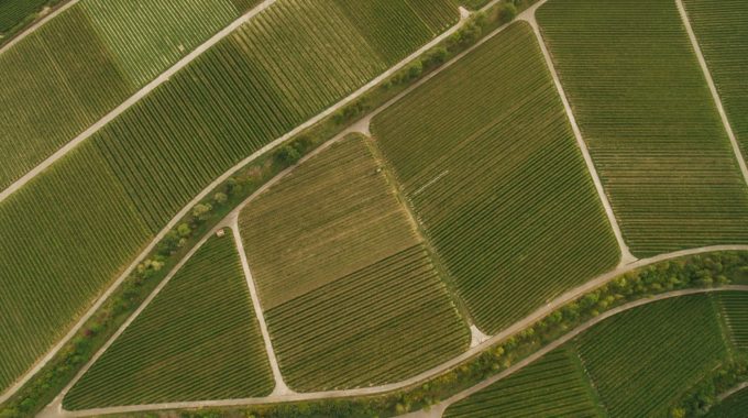
Aerial imagery for business is fast becoming a necessary tool for everything from real estate developers to farmers, from research teams to emergency management planners. As the demand for aerial imagery for business purposes has increased, many options have come online to meet that need.
Advantages of Using Aerial Imagery for Business
Aerial imagery for business is being used more and more because of the advantages & business intelligence that commercial enterprises can gain from it. Business ventures can use aerial imagery in many different ways including:
- Integrating images into CAD documents
- Business presentations
- Visual analysis…and much more.
The advantages, especially for small & mid-sized businesses, are that affordable aerial imagery services like MapSavvy allow more modestly sized businesses to take advantage of business intelligence typically reserved for huge companies with huge budgets. Most aerial imagery services worth their salt are cloud-based, which offers a host of advantages including:
- Affordability (MapSavvy costs just $500 a year)
- Remote Access (You can access aerial imagery anywhere there’s a computer and an internet connection.)
- No Software to Maintain (When you use cloud-based aerial imagery, you’re not maintaining special software on your own hard drive.)
Many Types of Aerial Imagery for Business Are Available
The only real problem with aerial imagery applied for business uses is that there are different types of aerial imagery on the market – and you have to research what aerial imagery is best for your application. Options include:
- Satellite Imagery: Images taken from satellites orbiting the earth
- Aerial Imagery: Imagery shot from a plane
- Drone Imagery: Imagery shot from a drone that can fly up to 400 feet in altitude
Orthoimagery: Regardless of which type of imagery you obtain, orthoimagery typically is needed for business applications. Orthoimagery is satellite imagery, aerial photography shot from a plane, or drone imagery that has been corrected and adjusted for the tilt of the camera, distortion from the lens, and topographical relief. MapSavvy.com offers orthoimagery for business.
To determine type of imagery your business needs, ask the following questions:
What altitude should the images be shot? If you need a high-altitude vantage point, you’ll need imagery shot from a satellite or plane. If you need a low altitude, images shot by a drone will be helpful.
What’s the budget & timeframe? If you need images immediately and you don’t have a big budget, you’ll need to purchase images from a web mapping service like MapSavvy.com. If you have budget and you’re not in a rush, then you’ll have the time & money to hire a drone photographer to shoot the images you need.
How frequently do you need image updates? If you need image updates every month for an application such as tracking construction progress, then you’ll need drone footage. Drone footage provides the best possibility of obtaining frequently updated aerial imagery. There are a lot of reasons why aerial imagery for business purposes is coming on strong. If your business or non-profit needs affordable orthoimagery, you’ll do your budget a favor by checking out MapSavvy.com. It’s one of the most affordable sources of orthoimagery on the market today. Want to learn more about MapSavvy. Take MapSavvy for a test drive today!
Related Posts