While MapSavvy traditionally has offered the most affordable aerial imagery solely from Bing Maps, OnTerra…

Recession Proof Your Business With MapSavvy
With multiple financial gurus predicting a recession in the United States, it’s important to look for ways to recession proof your business, research team, or department in the coming year. One key way to recession proof your business is to review the items you must buy to do business or conduct research, and see if you can find the same item or service at a lower cost.
For those in business, government, or research activities that need web map images to do their jobs, MapSavvy is a potent recession fighting tool.
As a source of web map images, MapSavvy is literally the most affordable source of up-to-date web map images on the market today.
H2 Header:
How the MapSavvy Web Map Service Helps Recession Proof Your Business, Department, or Research Team
When you can find a product or service that offers the same functionality at half the price of competitors, it’s a no-brainer to pursue it. That’s the case with MapSavvy, which offers an affordable source of aerial imagery at more than half the price of comparable web map services.
Here’s how MapSavvy helps recession proof a business, department, or research team:
Businesses – For businesses that make use of aerial imagery, it makes sense to make a change if you can save 50% on a web map service. The money that’s saved can be banked for a future need, used to buy a needed piece of equipment, or to be applied in marketing or online ads that bring in more customers.
Departments – Government departments that need aerial imagery are always under pressure to spend tax dollars wisely. When government department managers save money by buying a more affordable aerial imagery service like MapSavvy, they can apply the savings to a needed expenditure without asking for a budget increase. They can also justify their purchase of a more affordable aerial imagery service as part of any PR efforts to show responsible use of taxpayer dollars.
Research Teams – Researchers and research teams typically are cash-strapped, with a finite amount of money stemming from a research grant. When research teams utilize MapSavvy as their source of aerial imagery, the money that’s saved can be applied to needed equipment or to extend the research dollars and program that much further.
MapSavvy Helps All Industries Recession Proof a Business
The MapSavvy web map service is helpful in virtually industries & applications. This is because virtually all industries have a need to use web maps in the course of their work. Here’s a quick look at how different industries use a web map service like MapSavvy:
- Architecture Firms – Architects use web map images in architecture plans & presentations to clients & the public.
- City Planning – City planners make extensive use of aerial imagery when planning areas of infill in urban areas.
- Oil & Gas – Web map images are ideal for assessing terrain & planning pipelines.
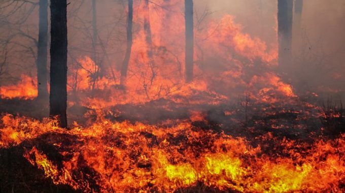
- Public Safety & Emergency Management – Web map images can be used to assess areas vulnerable to wild land fires; to plan for how to deploy & evacuate first responders; and to develop post fire or post storm response and rescue.
- Research – Research teams studying everything from climate change to wild life migration patterns make use of aerial images, first to assess findings & second to convey their findings to non-scientific audiences.
- Retail – These images of specific areas can be used to plot the locations of stores & determine geographic areas not served or underserved.
Whether a recession hits in 2020 or not, it’s still important to eliminate waste & spend money more wisely to make it stretch further in good times and lean times. MapSavvy is one of a number of technology tools that can be deployed to recession proof a business, government department, or research effort.
Want to give MapSavvy a test drive? Try our free, 14-day Trial.
Related Posts