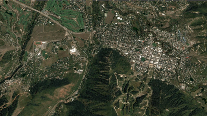
When it comes to urban development, it’s helpful to make use of WMS providers with…

Subscribe to a GLOBAL WMS
Web Mapping Buying Tips – Global-wide Images
We at MapSavvy will be sharing a variety of web mapping buying tips over time. The first tip we’re addressing will help ensure you buy the right Web Mapping Service subscription, with the right features and for the right price.
Web Mapping Buying Tips – To Segment or Not Segment
Two of the key questions you must answer before you buy a web mapping service subscription are:
Do I need to segment my images by geographic area?
Or
Do I need imagery over the whole planet?
This is a key question to answer. Once you know if you just need web map imagery for a specific region, or for the world, it will help you estimate the costs of the various web mapping services.
Once you’ve answered this question, research web mapping services (like MapSavvy), and review their pricing model.
Some of the web mapping services charge a flat fee, and you can access images across the whole globe. In contrast, some web mapping services charge a subscription fee based on the depth and breadth of the geographic area for which you need imagery. With those pricing models, your web map service will be the most expensive if you need imagery across all of planet Earth.
Common sense dictates that you should only buy what you need. But if there’s even a smidge of a chance that you’ll need web map imagery outside of the targeted geographic area, then consider the web map services that provide access to an entire globe of web map imagery for the planet.
Also be sure you are comparing apples to apples for pricing. For example, if one web map service charges a relatively low amount for access to web maps in one region, make sure you find out the price if you need access to the web maps of terrain across the planet. And then, compare those prices to the flat-fee web map services.
As an example, MapSavvy charges a flat fee of $500 per year for up to 5 users, and allows you to access up to 20,000 web map images. When divided out between the five users, each of them gets a total of 4,000 images. MapSavvy also allows access to the whole planet’s web imagery for that flat fee.
In contrast, many large aerial imagery companies charge XX times more for access to globe-wide imagery.
To make the best decision, again, ask whether you will ever need access to imagery beyond the region for which you need imagery in the short term. If you’re going to need global imagery, then a flat-fee pricing model with access to planet-wide web map imagery is the way to go.
The best way to learn if MapSavvy is the right WMS for you is to try it. Please access our Free, 14-day Trial & take MapSavvy for a spin.
Related Posts